
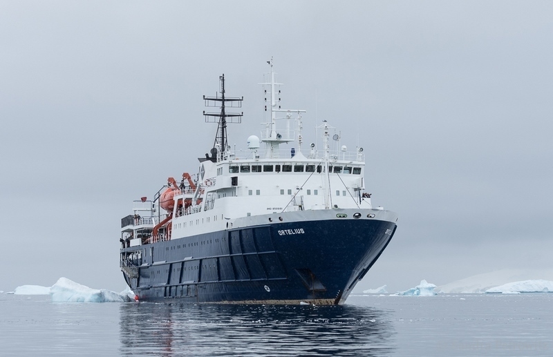
Travelers aboard Oceanwide’s Ortelius recently charted an area in the northwestern Antarctic Peninsula that may have only been mapped twice since the Belgian Antarctic Expedition first surveyed it in 1898.
The crew, including the expedition leader, field operations manager, second mate, and other members of our onboard staff, the passengers and the guides charted a route around the largest of the Guyou Islands in Flandres Bay before returning to the ship late that day.
The team used the Olex navigation and mapping system developed by Olex AS in the Norwegian city of Trondheim, according to a press release. Olex uses sonar and GPS to collect and cupdate sea depth data, producing 3D visualizations of the seabed in real time.
Here is the list of the mapping activities in the area:
- Belgian Antarctic Expedition in 1898
- French Antarctic Expedition in 1904
- French Antarctic Expedition between 1908-1911
- Oceanwide Expeditions on December 11, 2022